Since it took us so long to acquire a place to camp when we first arrived at Seward, we didn’t have time to hike to Exit Glacier – also in Kenai Fjord NP. After we broke camp on Day 16, we did the easy 2 mile hike up to Exit Glacier. We hadn’t gotten in a lot of hiking during this adventure so the hike was very good and the glacier was cool.
We then headed back up the Seward Highway to the Glenn Highway through Anchorage and after traveling 154 miles, we camped in another Alaska State Park – Eklatna State Park. This one was 9 miles off the highway and very nice and quiet. Leaving Seward, we’d reached the half way point of our Adventure and we’re now starting our trek towards home even though we still had a few stops planned.
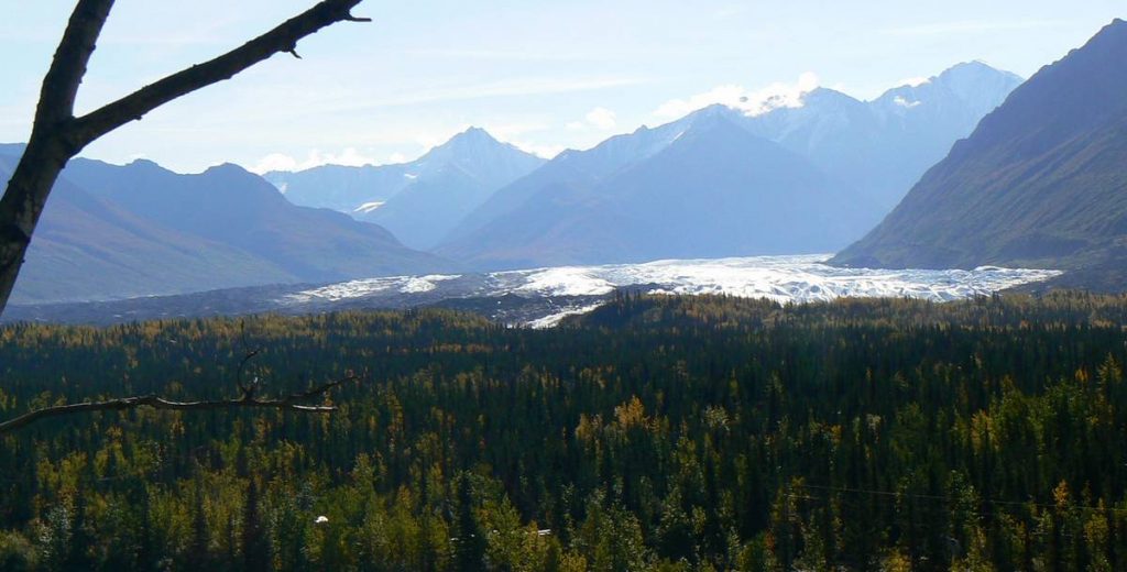
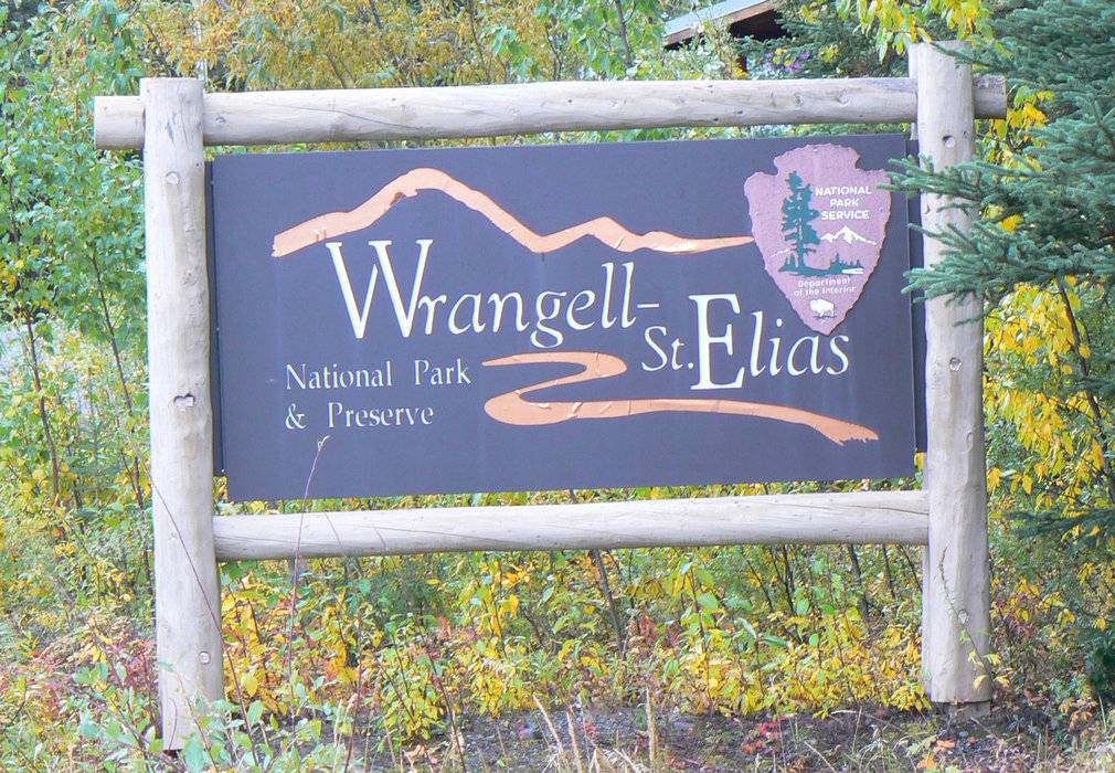
We continued our way 238 miles up the Glenn Highway/Tok Cutoff on Day 17 to camp at Porcupine Creek State Park just outside of Wrangell-St Elias National Park and Preserve. Along the way we stopped to view the Matenuska Glacier. This glacier is 4 miles wide at it’s terminus and 27 miles long – very impressive.
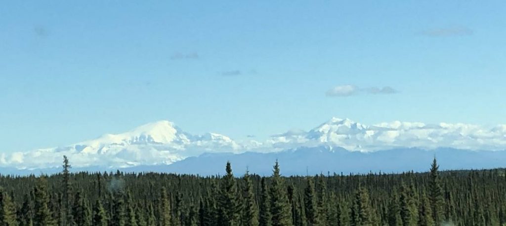
Since it was a nice sunny day, we enjoyed some great views of Mount Stanford and Mount Drum in the Wrangell Mountains as we were approaching the town of Glennallen, AK. After picking up some maps at the Wrangel-St Elias NP ranger station, we settled into camp to plan our next day’s adventure.
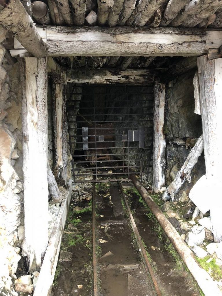
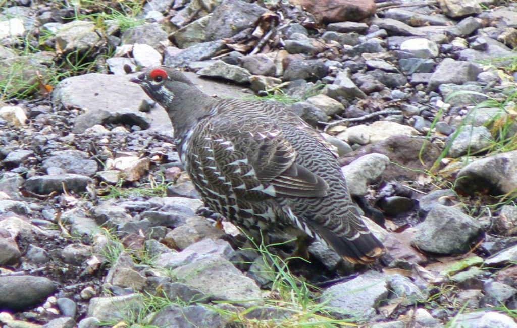
Wouldn’t you know it, we get up on Day 18 and it’s raining/drizzling. Of course we were planning a couple short hikes and hoped to get some more great views of the Wrangell Mountains. But despite the drizzle, we drove the 45 miles to the end of the road into the Park and did a short hike up to an old gold mine – Rambler’s Mine. It was a relatively aggressive hike for these two old folks so thankfully it was only about a mile long. We had a wildlife viewing along this trail – a very curious grouse.
We tried to hike into an old airfield – Reeve’s Field – used during WWII for transporting materials during the construction of an airfield further north, but we encountered Jack’s Creek – which was more like Jack’s River. There was no way we were going to attempt to ford that creek.
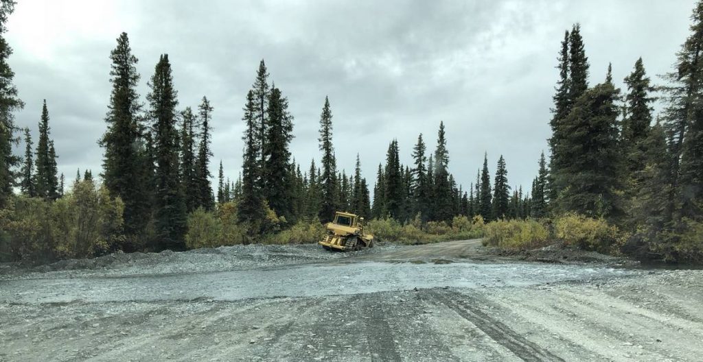
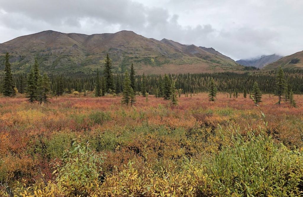
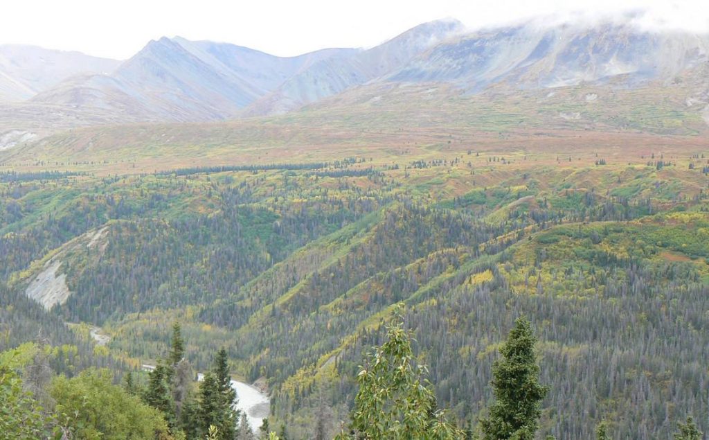
Driving the road into the Park was interesting. There were several creek crossings and some did not have bridges over them. You just drove right through the creek. We also got some very nice views of the fall colors in the Park. Yes, fall was setting in and it was still early September!
On Day 19, we continued our trek towards home driving up the Tok Cutoff to Tok where we rejoined the Alaska Highway – heading south this time.
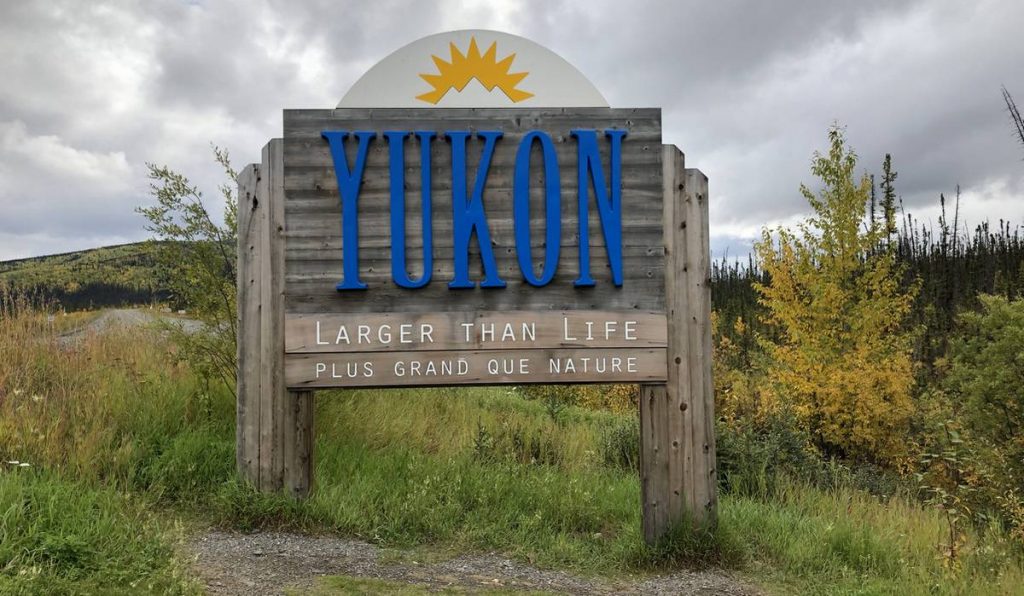
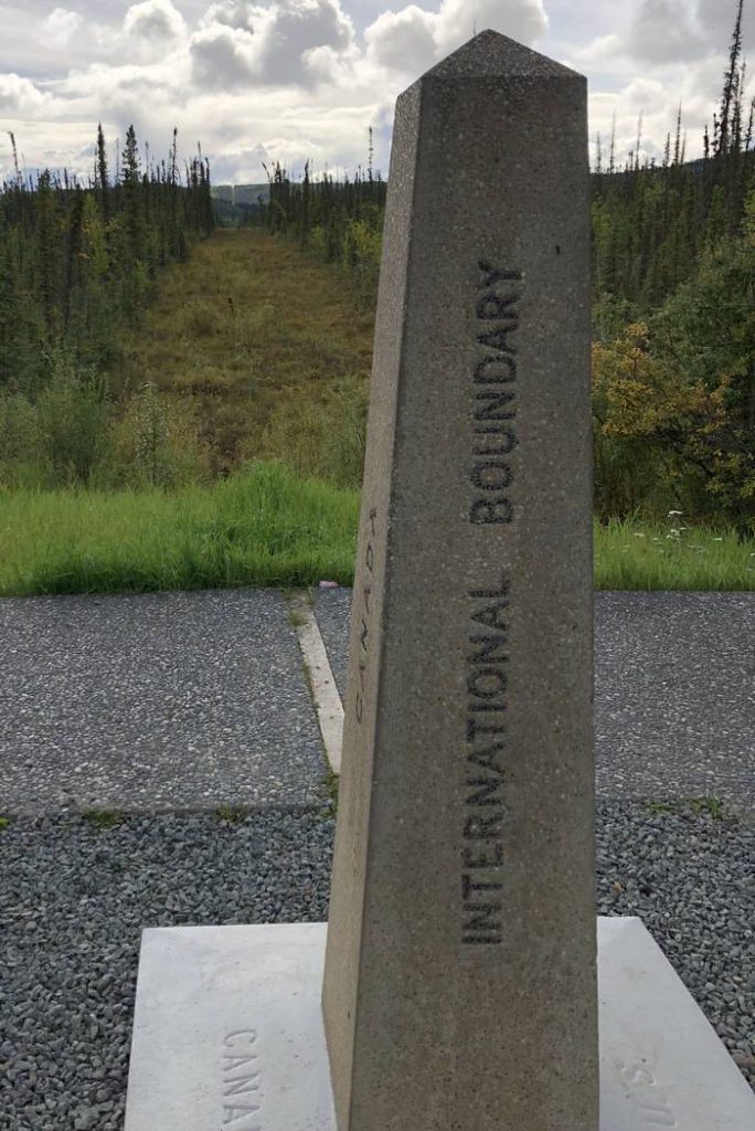
We re-entered the Yukon. It was interesting to see the line where the vegetation has been cleared marking the Alaska-Yukon border.
Our plan was to travel 289 miles to Destruction Bay, Yukon and camp along Kluane Lake but when we got there all the RV parks were closed for the season. So we continued for another 66 miles to Haines Junction, Yukon. Fortunately, we found an RV park that hadn’t shut down for the season.
At Haines Junction, Yukon, we left the Alaska Highway and continued our trek towards home on the Haines Highway for 148 miles and spent the evening of Day 20 in Haines, AK. The drive passed through some beautiful mountains that were aglow with fall colors.
What a beautiful, well groomed RV park we found there and in an exquisite setting – right along the Chilkoot Inlet of the Lynn Canal. After giving the truck and trailer their second bath on this trip (yes, we encountered another section of construction that was very muddy) we settled into camp, enjoying the great scenery.
We caught the ferry of the Alaska Marine Highway system on the morning of Day 21. It’s quite the process watching them organize and load all the different vehicles onto the ferry. We were the longest unit that boarded in Haines at 48’. Looking at the opening in the side of the ship and the steep ramp to the ship, I wasn’t sure how we were going to get loaded, but we did with no problems. The car deck supervisor was very good at his job.
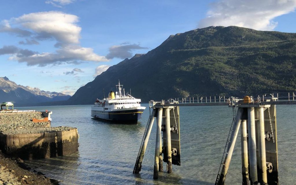
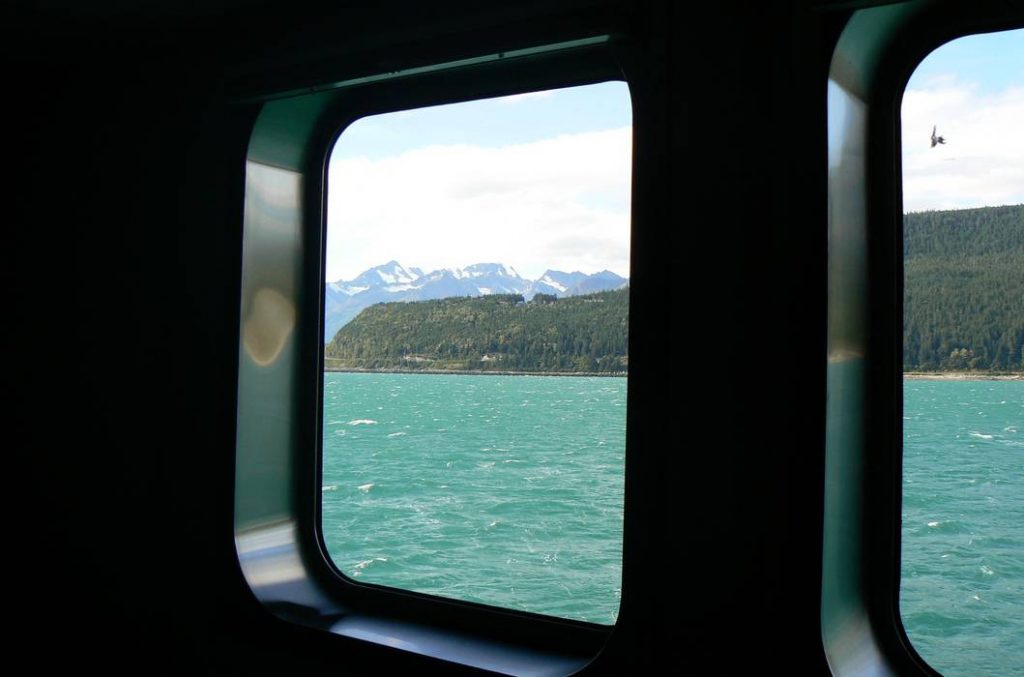
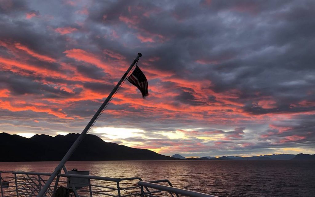
We set sail on the Malaspina, built in 1963 and refurbished in 1992, right at 9:45 am. And what a gorgeous day it was to be at sea – beautiful clear, sunny skies and the first time I’d donned shorts since Day 3. It seemed like we moved painfully slow as we left the harbor at Haines, AK. We had a great view out our cabin window as we left. As we sailed down the inlet and into the canal, we had fantastic views of the glaciers and mountains along the Inside Passageway – especially Mendenhall Glacier above Juneau.
We spent most of the day on deck at the bow of the Malaspina. And then the sun set and how stunning it was. We retired to our cabin and tried to hit the sack a little early as it was going to be an ungodly early morning. This leg on the ferry had two stops – Juneau during the day and Petersburg around midnight. I must admit I don’t recall much of the Petersburg stop. The Malaspina took us 275 miles before we got off in Wrangell.
Day 22 started at 4 am – yes, we docked in Wrangell harbor at 4:45 am. When we got to the car deck we discovered vehicles headed for Ketchikan, AK – the next port – had been parked both in front and behind us. Now what! But the car deck supervisor once again proved his worth. With about 1’ to work with in front of Scott’s truck and 1 ½’ behind the trailer, he was able to guide Scott out of that tight spot in just 3 maneuvers. Amazing. And it was 5 am!!
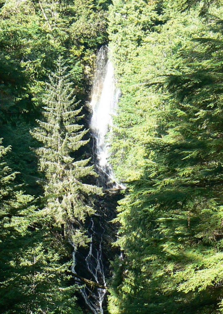
Once we got off the ship, what does one do when it’s 5:30 am and nothing in the quaint little town of Wrangell (population of about 500) was open. We parked in the ferry terminal parking lot where Scott snagged a couple hour nap and I studied my info on Wrangell Island for a bit then wandered the town of Wrangell. That took all of about 15 minutes – walking. Once Scott finished his nap, we found a place to set up camp, and off to Bob’s IGA for food supplies. We didn’t want to have a lot in the refrigerator while on the ferry for 19 hours. Afterwards, we hiked to Rainbow Falls which earned its name by providing us with a rainbow (too bad the rainbow doesn’t show in the picture), and then back to camp to relax.
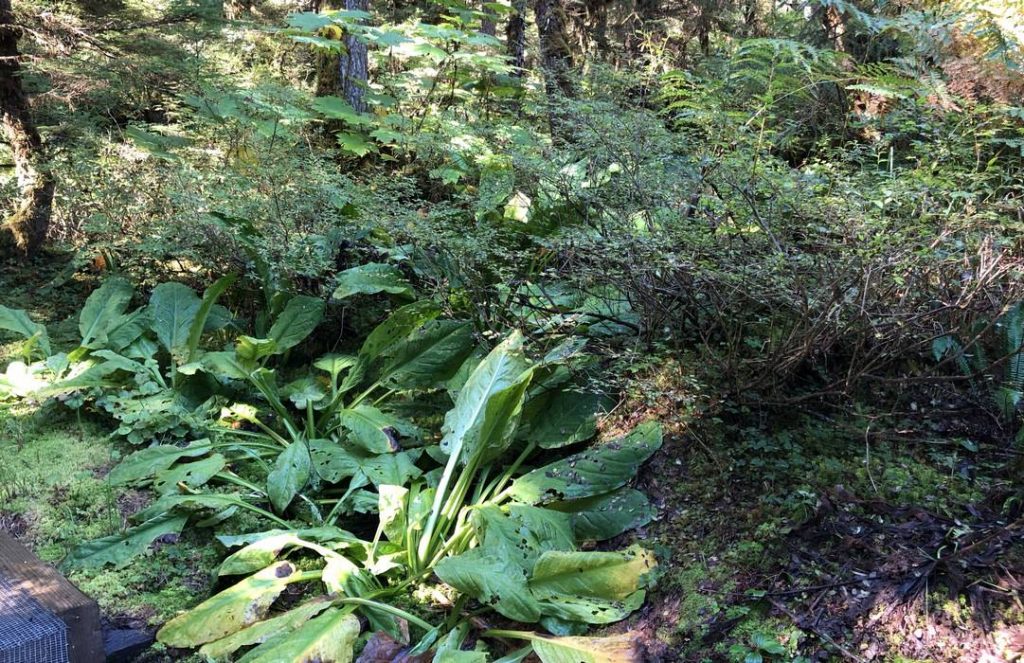
We discovered that along the Rainbow Falls trail and some of the other trails we hiked on Wrangell Island, the vegetation was very similar to our backyard – our own Ancient West Coast Rainforest!
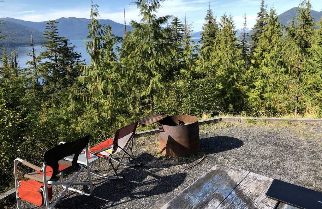
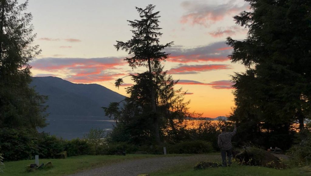
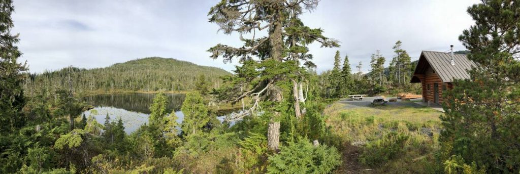
We spent Day 23 exploring some of the Tongass National Forest on Wrangell Island and discovered the perfect campsite for us. After a short hike into Thom’s Lake, we packed up the trailer and moved to this great campsite overlooking Zimovia Strait.
As I write this, I’m sitting in my portable rocking chair in the very warm sun, even though it’s about 60°, high above Zimovia Strait watching the commercial fishermen maneuver their nets and listening to the float planes fly over. Even though we paid for 3 nights at the other campsite, this campsite was too good to pass up.
We were treated to another gorgeous sunset.
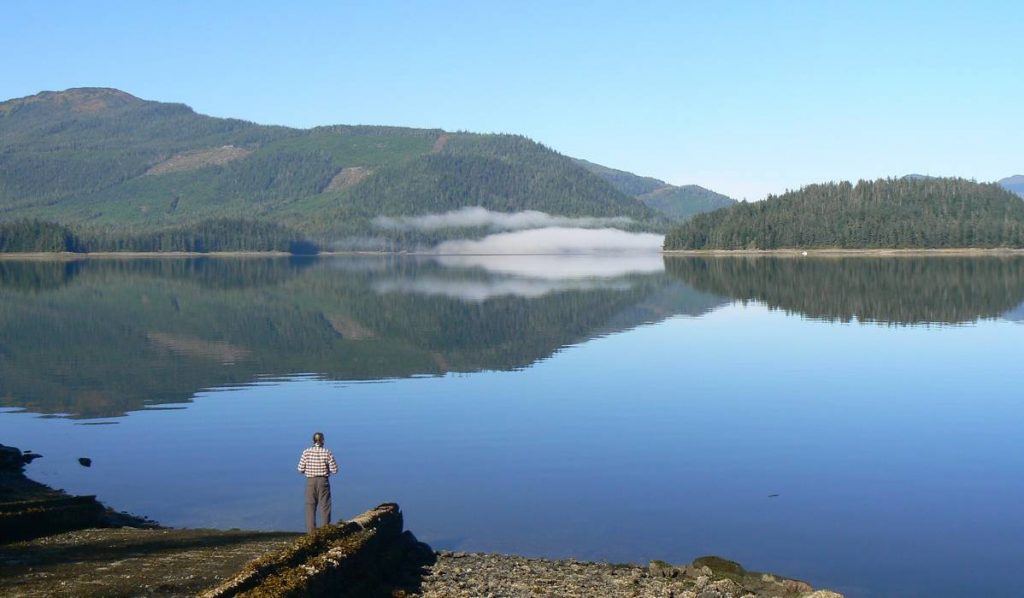
We explored more of the Tongass NF on Day 24. The Eastern Passageway at Earl West Cove graced us with some wonderful reflection pictures.
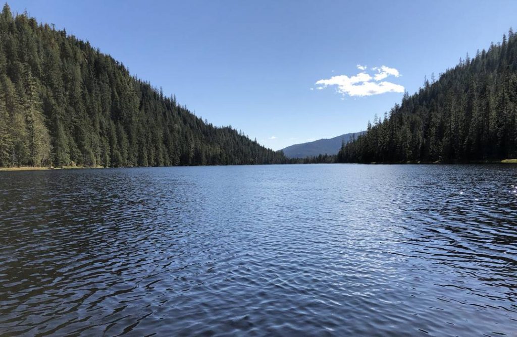
It was amazing to find such flat water on a body of water that was connected to the Pacific Ocean! We drove to Highbush Lake and took the short walk to the lake, less than 1/10 of a mile. We were then off to Long Lake. This hike was a little longer, .6 miles, but still a very easy hike. Of all these little lakes in Tongass NF, none of them were suitable for fly fishing from shore, but noticeably there were row boats dry docked to trees at each one. The information at Long Lake trail mentioned these boats were provided by the forest service for people to use as long as they had proper flotation devices.
Well, we didn’t exactly pack any flotation devices with us. But here at Long Lake, there were a couple of old flotation devices hanging in a 3-sided shelter. We threw them into the boat, Scott put together his pack fly rod, and we headed out onto the lake. We could see the fish jumping all over but none of those little stinkers were interested in anything Scott was offering them.
So, we called it quits and went back to camp to enjoy our last evening overlooking Zimovia Strait.
Our ferry on Day 25 wasn’t scheduled to leave until 8 pm. We took advantage of having nearly another full day on Wrangell Island and drove up to the Middle Range Cabin – a forest service cabin available for people to rent.
It was a cute, rustic, little cabin overlooking a small lake high in the mountains which also had a row boat dry docked. We looked around and took some pictures and thought maybe we could come back here someday.
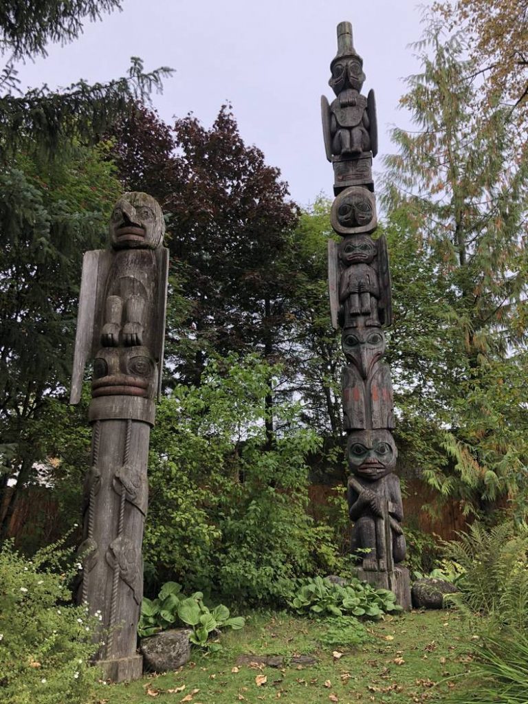
Then it was off to the town of Wrangell to purchase a couple of souvenirs. We visited a couple of totem parks, the Wrangell History Museum (very interesting), grabbed dinner, and boarded the Malaspina once again for our overnight excursion to Prince Rupert, BC.
After the Malaspina took us another 217 miles, we arrived in Prince Rupert around noon on Day 26. This started the final leg of our trek home on the Yellowhead Highway across British Columbia. We traveled 271 miles and camped in the nearly uninhabited Seeley Lake Provincial Park. Even though the clouds were hanging a bit low, I still managed to snatch a few pictures – especially of the very wide Skeena River.
We continued our trek home on Day 27 traveling through some of the areas of BC that had been evacuated this year due to wildfires. When we originally came through the heavy smoke-filled skies by Prince George, BC on Day 3, I was concerned if we would be able to travel the Yellowhead Highway on our way home as that went right through the middle of all those wildfires. Thankfully, BC had received some of the rain we encountered on our adventure. In fact, we traveled through rain, sleet, and snow with temperatures right at freezing most of the day. 407 miles later, we arrived at McBride, BC and camped on the western edge of Jasper National Park.
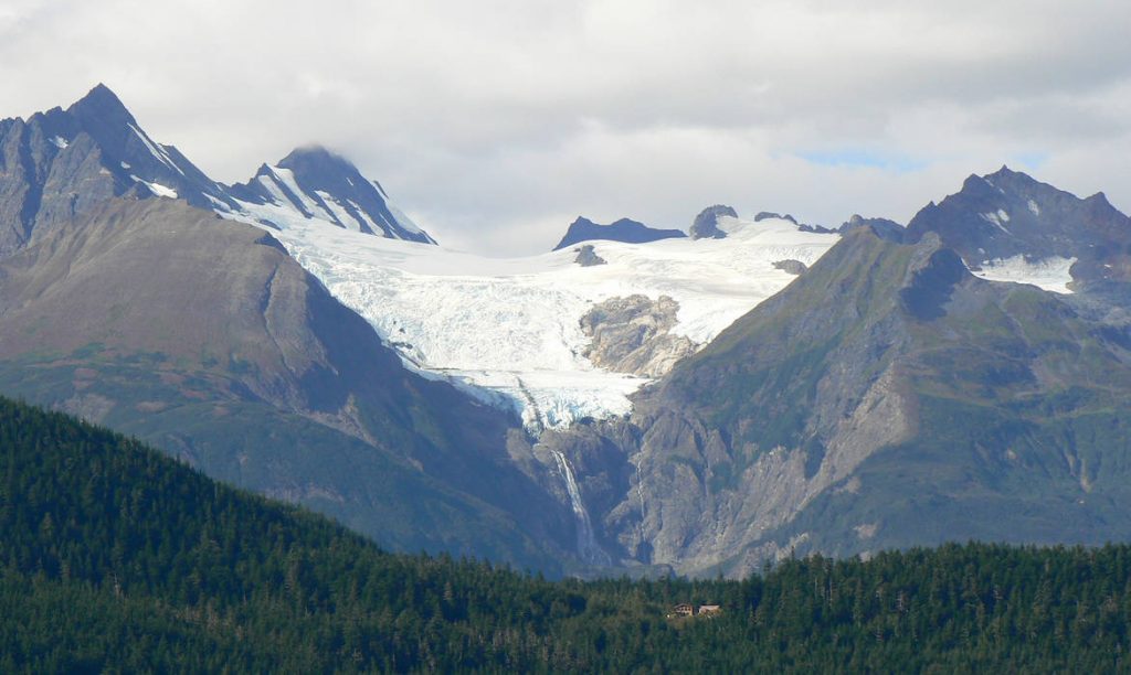
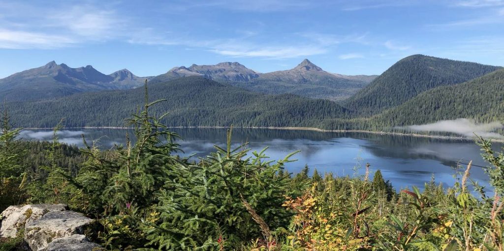
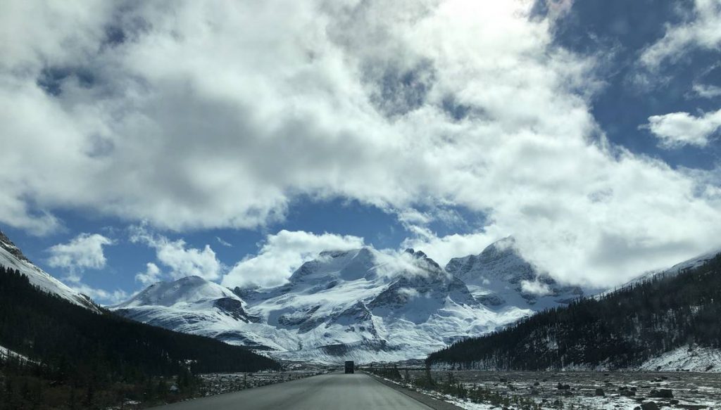
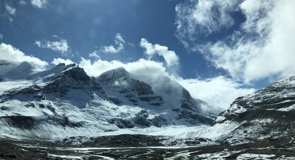
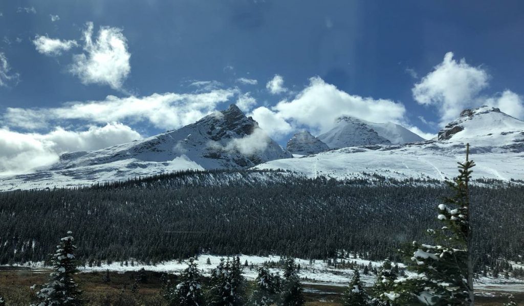
After hearing it had snowed in Jasper NP and Banff NP from folks on the ferry, we checked the forecast for the Icefields Parkway. The forecast called for snow with temperatures below freezing. Needless to say, we were a bit concerned about hauling our trailer over the passes along that highway in slippery conditions. Well, our concerns turned out to be a “nothing-burger”. Day 28 on the Icefields Parkway was clear and dry and the skies were partly sunny. There was quite a bit of new snow on the mountains and along the road but driving it was clear sailing.
The partly sunny skies made for some very interesting pictures as the peaks would peek through holes in the clouds with the sun shining on them. We had great views of the Columbia Icefields and the Athabasca Glacier.It would have been a great day to do some hiking but it was time to get home so that will have to wait for another time.
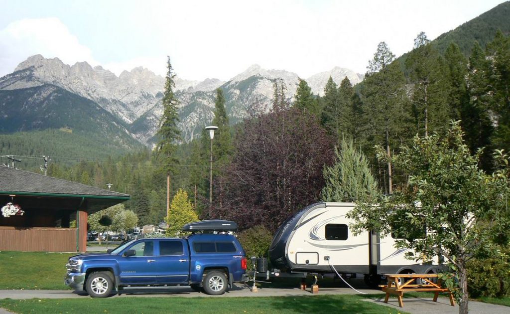
The drive over the passes coming through Kootenai NP was quite interesting though. We had a major downpour – so heavy at times it was difficult to see the highway center line. Thank goodness we didn’t have freezing temperatures. We traveled 348 miles and by the time we got to Fairmont Hot Springs, the rain had stopped with some high clouds and great views of the mountains which made the background for this resort.
As we were checking into the RV park, there was a sign stating they have skunks. Well, that’s no big deal as we have skunks at home. But that evening as Scott left the travel trailer to get something out of his truck, I heard him say “The skunk is here”. I couldn’t quite figure out what he was talking about so took a peek out the trailer door. And there it was – a skunk about 6′ from the steps of our travel trailer. Scott was already off the steps and on the ground by this time. So as he’s slowly moving to get back up the steps and into the travel trailer, he’s talking to the skunk saying things like “No no no, I won’t bother you”, etc. Fortunately, he made it back into the trailer without the skunk spraying either him or the trailer. Next time we’ll pay a little closer attention when a place has a sign posted like that.
Day 29 – our last, short day on the road of just 198 miles. After traveling 5,500 miles in heavily marked wildlife country, there it was, a whitetail doe and fawn crossing Hwy 93 in downtown Eureka, MT. It was a great trip and wonderful experience but how wonderful it was to be home.
Of the 28 nights we had on the road, we camped 26 nights in 22 different places. Needless to say, we became very efficient at setting up and tearing down camp. But it was great traveling with the trailer. We made very few reservations in advance and usually decided where to camp the next day the prior evening. Sometimes, that decision was made as we were traveling down the road. Any place we decided to stay was never full and many times there were only a couple other campers in the campground, another advantage of traveling this time of year.
It was a very quick trip to Alaska and we covered a lot of territory in a short period of time. But it gave us a great overview of what was available to see and do. If we should decide to travel north again, we would like to focus on certain areas. Exploring more of the islands along the Inside Passageway is something both Scott and I would be very interested in. Kenai Peninsula is another place we’d like to explore further. Scott says he wouldn’t travel the Alaska Highway again, but I think there were many adventures along it we didn’t do because of the rainy weather and time constraints. Someday, I think it would be a great trip to focus on just the Alaska Highway and to do more exploring along it. But there are adventures in other places we’d like to do so traveling north again will have to wait.