The Flathead River in the northwestern region of the state of Montana flows for roughly 158 miles (254 km) and fills the Clark Fork. The river begins its journey from the Canadian Rocky Mountains (Rockies) located at the northern tip of Glacier National Park, and proceeds southwest towards Flathead Lake, emptying at the Clark Fork. The Flathead River is indirectly part of the Columbia River Drainage Basin because the Clark Fork (in which the Flathead empties) is itself a tributary of the Pend Oreille River which is a tributary of the Columbia River. Being the largest feeder of the Clark Fork and comprising over half of its flow, the Flathead’s drainage basin extends more than 8,795 square miles (14,072 square km) with a mean discharge rate of 11,380 cubic feet per second (322 cubic meters per second).
The Flathead river begins at the convergence of Middle Fork and the North Fork, and each of the three forks of the river (Middle, North, and South) are themselves separate rivers. Combined, the three forks provide several recreational opportunities to tourists and adventurers such as fishing, wildlife observation (including grizzly bears and wolves), strolling around admiring the spectacular landscape, hiking trails of all difficulties, visiting historical spots, and much more. The bumpier spots include the terrain of Glacier National Park, The Great Bear Wilderness area, and the Bob Marshall wilderness area.
North Fork Flathead River
Officially known in the United States as only North Fork, measuring 156 miles (246 km) travels through British Columbia, Canada, and heads south spilling into the state of Montana in the United States. Being one of the three main forks of the Flathead River, this river forms a boundary to the west side of Glacier National Park, throughout its complete journey of 47 miles (76 km) in Montana.
Twisting and turning with rapids, the North Fork is regarded as one of the most ferocious streams in Montana. Over its entire journey, the river does not encounter any inhabited town whatsoever, other than a remote town called Polebridge with no electric power. The water in the river arrives as a result of melting snow and springs which is the reason behind its clarity, cleanliness, and low nutritional content.
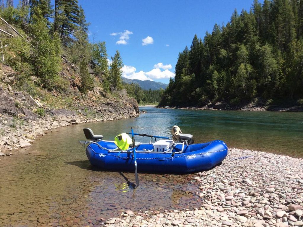
Being 50ft to 100ft wide for most of its length, and most of the rapids Class 2 or less, the North Fork is an excellent float river.
The river offers several spectacular panoramas, and various sections of the river offer scintillating views of Glacier National Park, and along the route paralleling Columbia Falls River to the border of Canada.
A distinctive feature of this river is that it presents several unspoiled deep pools (up to thirty feet) formed among the various twists and turns, providing superb opportunity to anglers. In many cases, due to the pristineness of the water, the depth is often observable to the naked eye.
The vegetation found along the river is quite diverse as a result of its berserk nature, therefore not uncommon to spot Grizzly Bears, Elk, and Moose along the boundary of the North Fork Flathead River.
Middle Fork Flathead River
Measuring 92 miles (148 km), The Middle Fork Flathead River is located in the western part of the state of Montana in the United States, flowing along the southwestern border of Glacier National Park. East of Hungry Horse Reservoir and South Fork Flathead River lies the drainage basin of the Middle Fork River. Along this river, you will find the communities of Nyack, Nimrod and Pinnacle as well as the towns of Essex and West Glacier. The river flow is wildest through the heart of the designated wilderness area.
Middle Fork Flathead River can be categorized – along with the South Fork Flathead River – as Montana’s leading wilderness rivers flowing through narrow valleys and aside high peaks. The waters of the river are pristine because of extraordinarily little to no human interference (anglers, floaters, etc.) due to the remoteness of the river.
Emerging from the Great Bear and Bob Marshall Wildernesses, near the town of Essex, the river passes a unique point named “Goat Lick”. As the name suggests, mountain goats descend from high altitude to this point to lick salt present on the higher surfaces along the riverbank. The place is also frequented by other wildlife such as Grizzly Bear, and Lynx.
The portion of the river paralleling Highway 2 to Western Glacier (West Glacier) is a more picturesque spot of the Middle Fork Flathead river because it enables tourists to view the soaring peaks of Glacier National Park and Great Bear Wilderness. Hikers will also find campgrounds between Essex and West Glacier.
Since several Class 3 & 4 rapids exist just before and above West Glacier offering recreation activities for visitors such as individual and guided rafting/floating adventures.

South Fork Flathead River
Being the second-longest, measuring 98 miles (156 km), feeder of the Flathead River, and Clark Fork River’s (Pend Oreille River) tributary, the South Fork Flathead River is one of the three forks that make up the Flathead River and is one of the remotest rivers of Northwest Montana.
Like the Middle Fork Flathead River, South Fork also starts its journey from a designated wilderness area called the Bob Marshall Wilderness. Zigzagging through the forest and remote and undeveloped valleys, for 40 miles (64 km), the river runs north as it enters the backwater of the Hungry Horse Reservoir.
Reaching the South Fork Flathead River is challenging because it starts in the heart of remote wilderness areas of Flathead National Forest therefore you should be prepared for a backcountry excursion.
The mercurial nature of the climate in the Bob Marshall Wilderness region cannot be underestimated. It can snow in the summer, and temperatures during the nights (even during the summer months) can dip below freezing. Moreover, encounters with native wildlife can make any excursion here one of careful consideration and proper planning.
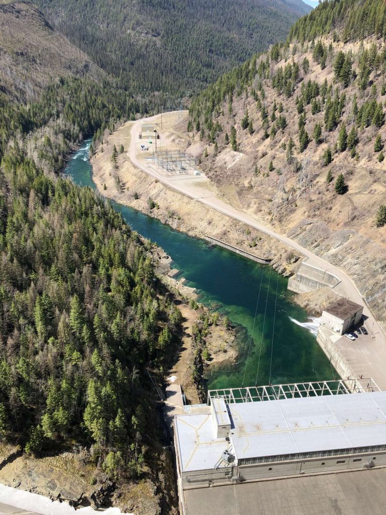
After exiting the wilderness region, the South Fork enters the Hungry Horse Reservoir traveling a distance of 20 miles (32 km). Just beneath the dam, the river flows a further 5 miles (8 km) before joining the Flathead River.


